
The Ministry of Agrarian Affairs and Spatial Planning/National Land Agency (ATR/BPN) is ready to conduct audits of spatial planning, certificates and buildings along the lake and river borders in order to mitigate flooding and maintain environmental health. Property entrepreneurs also support this policy and are preparing to anticipate it.
Minister of ATR/BPN Nusron Wahid said the audit will be carried out in the near future before January-February 2026, usually in the January-February period the Jabodetabek area experiences flooding.
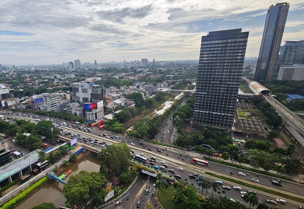
His party wants to mitigate flooding well in advance, especially in areas around Ciliwung, Cisadane, and Citarum, from incoming reports, there is certified land around the area that can be canceled.
“We will check several buildings and ask the regional government to cancel them in line with the border function,” he said when met after the Coordination Meeting on Border Areas, in Jakarta (29/10).
The border function is to secure the river, to secure the water discharge, as a reservoir so that the water does not overflow to the land.
The Ministry of ATR/BPN will immediately issue land management rights (HPL) for river borders and stems, that land located in river bodies and borders must be issued a Land Management Rights (HPL) certificate in the name of the state.
Regulation Harmonization with the Ministry of Public Works
Nusron said the Ministry of Agrarian Affairs and Spatial Planning/National Land Agency (ATR/BPN) and the Ministry of Public Works (Kemen PU) agreed to harmonize regulations related to river borders.
"It is hoped that this meeting with the Ministry of Public Works will primarily harmonize regulations. The regulations must be uniform. A single regulation regarding river borders should be drafted together," he said.
According to him, there are two reasons for the meeting between ATR/BPN and the Ministry of Public Works, represented by Deputy Minister of Public Works Diana Kusumastuti.
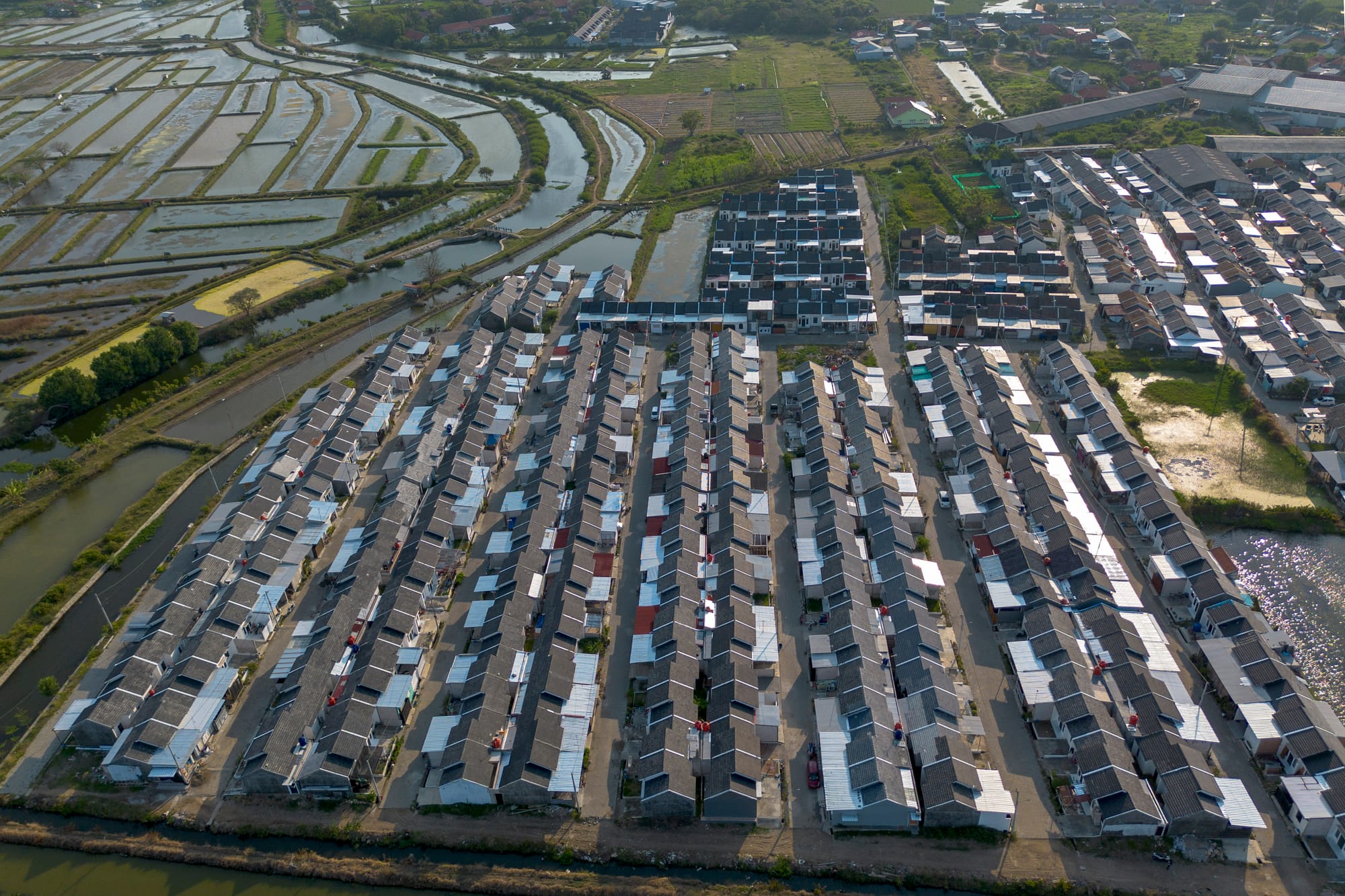
The first reason is the number of buildings on river borders, reservoir borders, lake borders, ponds, and other water sources, causing flooding because many buildings stand on these borders.
Secondly, many ATR/BPN officers face legal cases for certifying land on river borders, especially land in ponds, lakes, and so on.
Nusron said this happens due to differing regulations. On one hand, there are regulations stating that river borders are controlled by the state.
Supporting Audit Measures
Environmental observer Tarsoen Waryono said that the steps taken by ATR/BPN to audit spatial planning around river borders should be supported.
If this continues, the impact of development around river borders will increase the risk of flooding, landslides, and environmental damage, such as narrowing of riverbanks, sedimentation, and water pollution from household waste. Furthermore, this development also violates regulations, potentially incurring legal sanctions (criminal and fines), up to demolition.
"Buildings on river borders narrow the water flow area, increasing the risk of flooding during the rainy season. Additionally, it can trigger landslides due to changes in soil conditions," he told SUAR in Jakarta (29/10)
Development reduces the natural width of riverbanks, disrupting their ecological function. Residents living on river borders often dispose of waste and sewage directly into the river, causing pollution and sedimentation.
Pollution and physical changes to the river damage the aquatic ecosystem and can disrupt the biota living within it.
The Importance of Maintaining River Borders
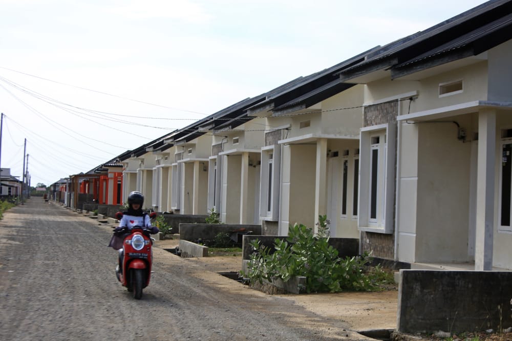
President Director of Pesona Kahuripan Group, Angga Budi Kusuma, said that before building a project, his company considers the river border factor.
Protecting river borders means safeguarding the area along the riverbanks from human activities that can damage the environment and disrupt water flow. This is done by establishing a border line, which is a safe distance limit from the riverbank that should not be occupied by buildings or other activities.
"River borders provide space for water to overflow during high discharge and prevent erosion on riverbanks," he told SUAR in Jakarta (29/10/2025)
Maintaining an area free of permanent buildings or waste is crucial for the sustainability of the river ecosystem.